If you are looking for the 1940-1945 United States’ effort* to construct a working atomic bomb, "the Manhattan Project," try The National Atomic Museum and Introduction: The Manhattan Project: A New and Secret World of Human Experimentation.
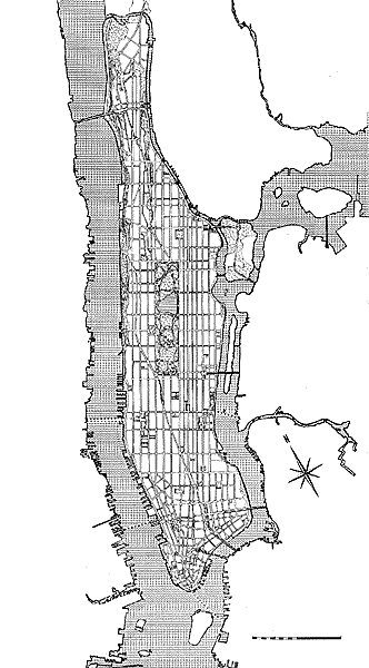
My Manhattan Project — A book of maps
Snow Emergency Streets
Fire Districts, Battalions & Companies
Police Precincts
City Council Districts
Public Schools & Districts
Zip Codes and Post Offices
Public Library
Remaining Two-Way Streets
Hospitals
Landmark Districts
Unwired Residential Cable Areas
Tennis Courts
Telephone Exchanges
Cinemas
Gas stations
Greenmarkets
Illuminated Towers
Ports, Terminals & Stations

Ballfields
Average Family ncome by Zip Code
Waterfront Use
Bridge & Tunnel Traffic
Bridge, Chess & Other Games
Community Board Districts
Ambulance Services
Newsstands
Synagogues
Foreign Consulates
Higher Education
Museums in Expansion
U.S. Congressional Districts
State Senatorial Districts
State Assembly Districts
Affiliation of Voters by Assembly District
Winter Recreation
Manhattan Neighborhoods
Where to Donate Clothing and Other Items
Armories and their Uses
This project has been conceived of as a way of understanding the uniqueness
of the island territory that is home to 8 million New Yorkers. The
hub of a large megalopolis, Manhattan has been and I believe, will
continue to be, a vital force shaping the lives of modern Americans
and peoples the world over. As the past and still present center of
much commerce, culture and innovation, Manhattan both gives and takes.
It and its inhabitants as well as 38 million yearly visitors reap
the benefits of, as William Faulkner put it, ‘All of Everything.’
I would like this book of
Manhattan Maps to be a guide to the comings and goings of this dynamic
city. It will show and describe services for, by and to New Yorkers as
well as the enduring geo-physical, cultural, technological, commercial,
educational, historical and social organizations, battlegrounds and institutions.
It will be particularly interesting to correlate such issues as spcific
locations with demographics. ie. A map showing school locations and districts
and describing student population. Fire houses could be related to statistics
and location of hazardous materials. Police to crime and special needs.
Roads to transportation patterns. Hospitals to health statistics.